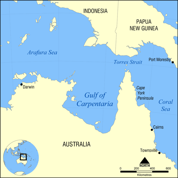
Gulf of Carpentaria
The Gulf of Carpentaria is a large and shallow sea, surrounded by northern Australia on three sides and bounded by the Arafura Sea on the northThis northern boundary is defined as a line between Slade Point (the northwestern corner of Cape York Peninsula) in the northeast and Cape Arnhem (the easternmost point of Arnhem Land) in the west
Coverage area
At its opening, the Gulf is 590 km wide, and further south is 675 kmThe length at north-south exceeds about 700 kmIt covers a surface area of about 300,000 km� and the depth of it is between 55 and 66 meters (30 and 36 fm) and does not exceed 82 meters (45 fm)
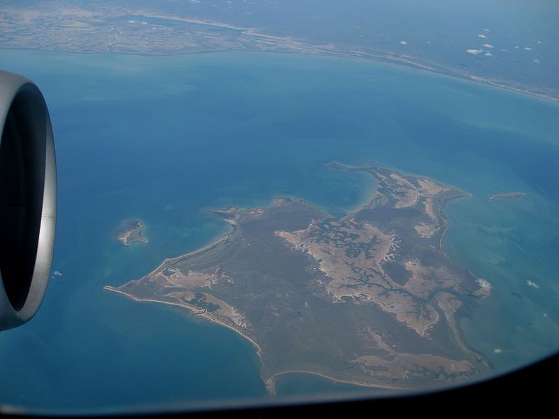
The land neighboring the Gulf is commonly flat and low-lyingTo the west of Gulf are Arnhem Land and the Top End of the Northern Territory, and Groote Eylandt which is the largest island in the GulfTo the east of Gulf is the Cape York PeninsulaThe southern area is known as the Gulf Country or simply "the Gulf"
Climate
The weather is hot and but humid with two seasons per yearThe dry season starts from about April to November and is characterized by very dry southeast to east winds, generated by drifting winter high pressure systems to the southThe wet season starts from December and ends in MarchThe year's rainfall is compressed into these months, and during this period, many low-lying areas are floodedThe Gulf is a breeding place for cyclones during the period between November and April
Naming: The first European explorer who visited the region was the Dutch Willem Janszoon in his 1606 voyageThen Jan Carstenszoon visited the region in 1623 and named the gulf in honor of Pieter de Carpentier (Governor-General of the Dutch East Indies)
 Deep Sea Crabs